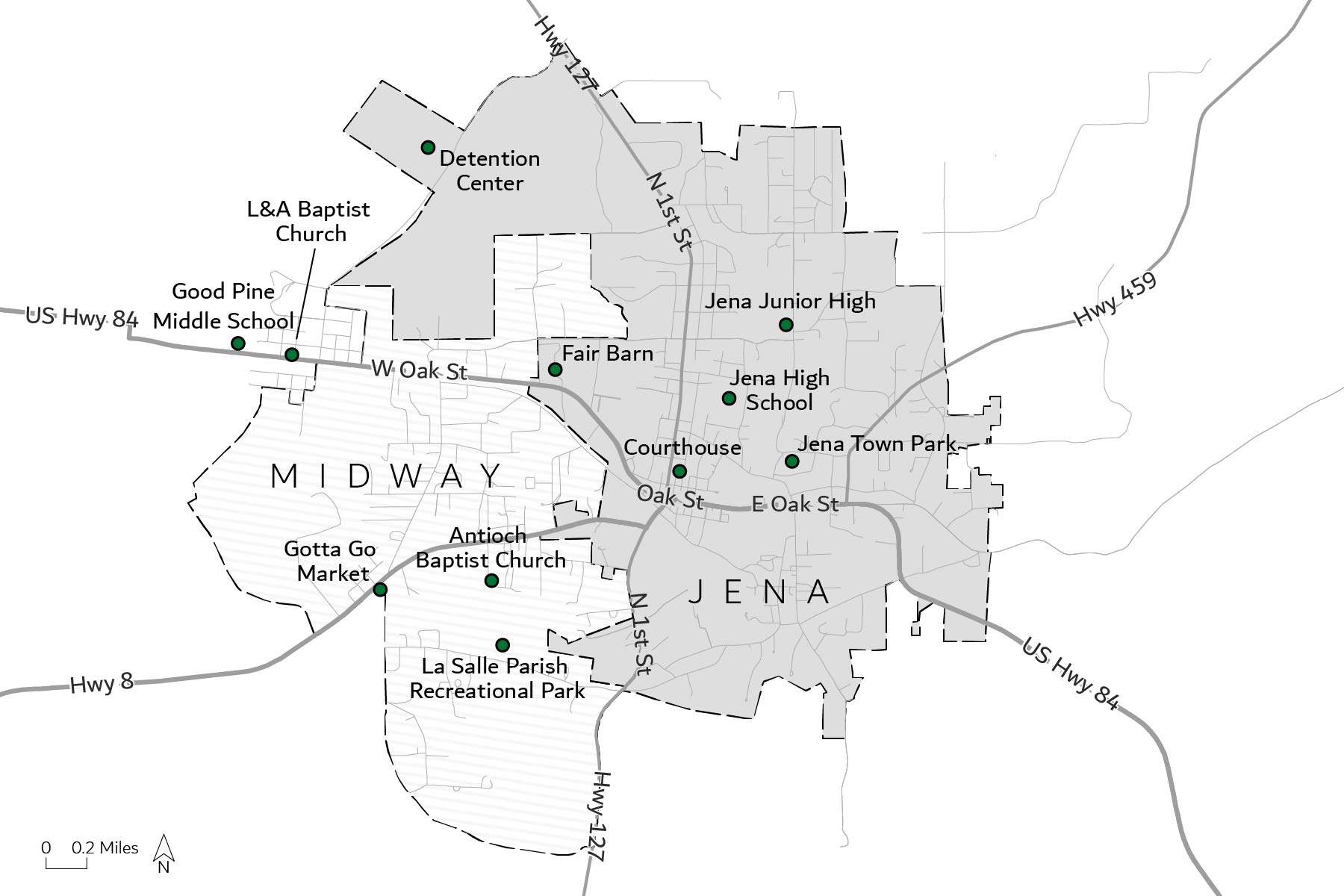
This is a map commissioned from the UW-Cartography Lab for an academic book. The main focus of the map was to show the layout of a town from the early 2000s for context surrounding the events of the Jena 6 in Jena, LA. I worked closely with the professor to ensure the points were historically accurate and the map could be both printed electronically and physically. I focused on simplicity over too much information, as the map was an image to aid in the story.