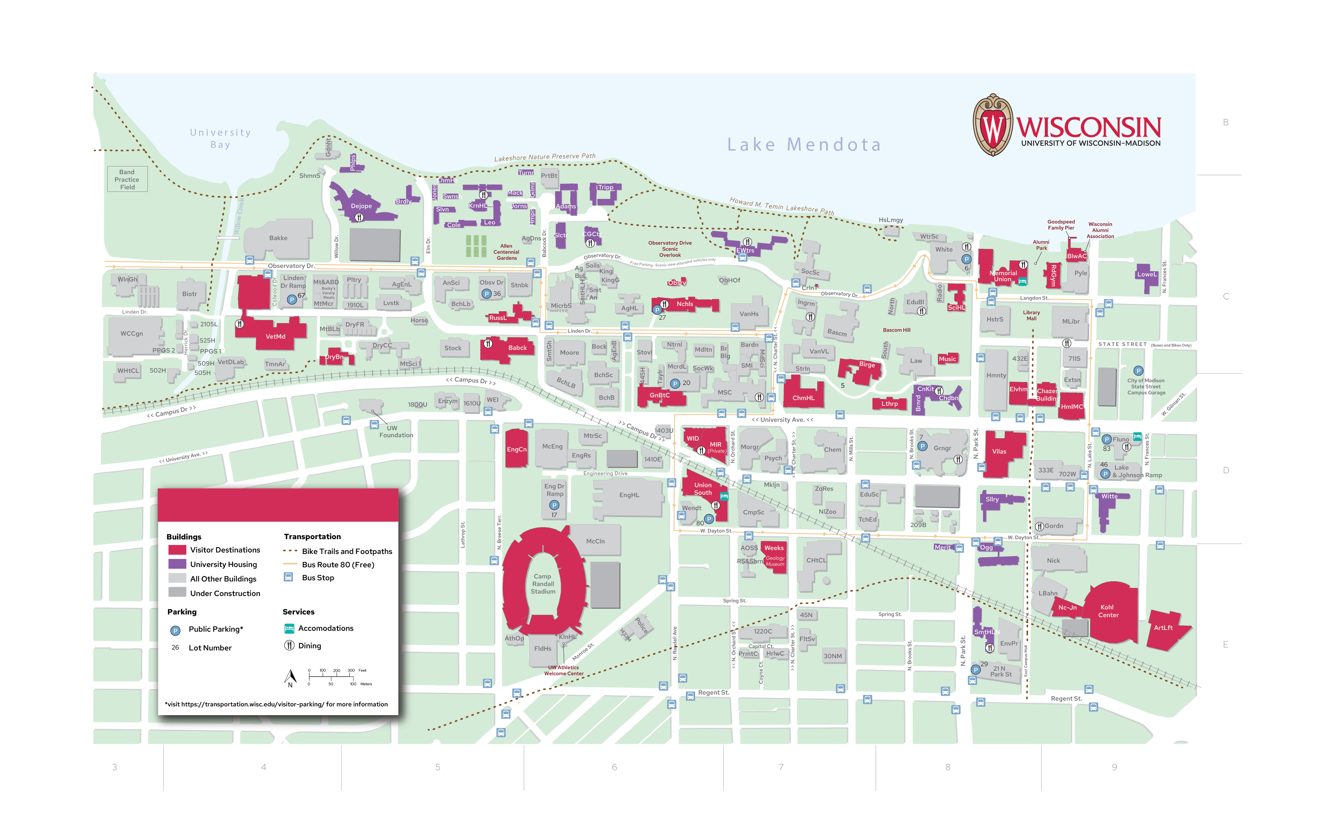
This map was commissioned to the University of Wisconsin-Cartography Lab. I was tasked with updating their old campus map to include new buildings, update symbology, and make parking more clear for the general public. This was a long process as I had to create the whole map from scratch using data provided by the Facilities Management division of UW-Madison. I worked with ArcGIS to pull the geospatial information and exported it to Illustrator to add the additional colors, symbology, and shading. This map went through multiple iterations to verify the color printability and accessibility. You can find it currently printed as a tear-away map in the Admissions building and around campus information centers.